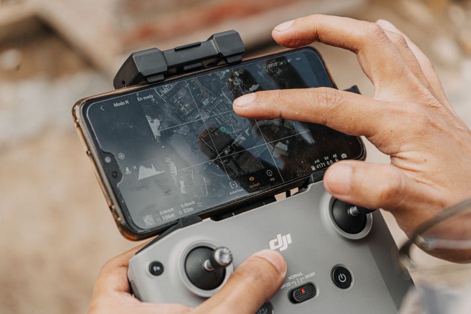
Top Drone Models for Precise Mapping Missions
In recent years, the evolution of drone technology has revolutionized the field of aerial mapping and surveying. Precision mapping missions require drones equipped with advanced sensors, reliable GPS systems, and robust flight capabilities to capture accurate geospatial data. Whether used in agriculture, construction, or environmental monitoring, selecting the right drone can significantly impact the quality and efficiency of data collection. Among the many options available, certain models stand out as top drones for mapping due to their specialized features and performance.
Key Features for Mapping Drones
Before exploring specific models, it is essential to understand the critical features that define a drone’s suitability for precise mapping missions:
- High-Resolution Cameras: Essential for capturing detailed imagery to create accurate orthomosaics and 3D models.
- GPS and RTK/PPK Systems: Real-time kinematic (RTK) or post-processed kinematic (PPK) capabilities ensure centimeter-level positioning accuracy.
- Flight Time and Range: Longer flight times and extended communication ranges allow for covering larger areas in a single mission.
- Stability and Wind Resistance: Stable flight in various weather conditions is critical to maintain image clarity and consistency.
- Payload Capacity: Ability to carry specialized sensors such as LiDAR, multispectral, or thermal cameras.
Leading Drone Models for Mapping Missions
The market is filled with numerous drones designed for commercial use, but a few models have become favorites among professionals for their reliability and precision.
- DJI Phantom 4 RTK – Known for its integrated RTK module, this drone provides centimeter-level accuracy without the need for ground control points. It features a 20MP camera and an excellent flight time of approximately 30 minutes.
- SenseFly eBee X – A fixed-wing UAV with multiple sensor compatibility options, including RGB, multispectral, and thermal cameras. Its extended flight duration of up to 90 minutes makes it ideal for large-scale mapping projects.
- Parrot Anafi USA – Lightweight and portable, this drone offers thermal imaging alongside a 32x zoom camera, making it versatile for both mapping and inspection tasks.
- Topcon Falcon 8+ – Specifically engineered for industrial applications, this octocopter delivers precise geospatial data with modular payloads tailored for surveying and inspection.
Role of Acecore Drone Manufacturer in Advanced UAV Solutions
Among industry leaders, Acecore drone manufacturer has gained recognition for producing highly specialized UAVs tailored for commercial drones and complex mapping missions. Their platforms emphasize modular design, allowing users to equip drones with a variety of sensors suitable for different applications, including drone inspection and drone utility inspection. Acecore’s innovative approach integrates cutting-edge flight control systems and advanced data processing capabilities, making their drones an excellent choice for professionals who require accuracy and reliability in demanding environments.
Applications Beyond Mapping: Surveillance and Security
While precise mapping remains a primary function, many of these drones also serve additional purposes. Surveillance drone operations benefit from high-resolution cameras and extended flight times, enabling effective monitoring over large areas. The distinction between UAV vs drone often comes down to usage context, but regardless of terminology, these platforms play vital roles in drone security and infrastructure protection. For example, in energy sector inspections, drones facilitate rapid and safe assessments of power lines and pipelines, reducing risks and improving maintenance workflows.
Choosing the Right Drone for Your Mapping Mission
When selecting a drone for precise mapping, consider the specific requirements of your project:
- Area Size: Larger areas may benefit from fixed-wing drones with longer endurance.
- Accuracy Needs: RTK/PPK enabled platforms offer superior geospatial accuracy.
- Payload Requirements: Determine if you need multispectral, thermal, or LiDAR sensors.
- Budget Constraints: Balance cost with features essential to your mission’s success.
- Regulatory Compliance: Ensure your drone meets local aviation regulations for commercial drones.
Elevating Mapping Missions with Cutting-Edge Drone Technology
As drone technology continues to advance, the possibilities for precise mapping and inspection expand exponentially. Choosing from the top drones for mapping, including those developed by industry innovators like Acecore drone manufacturer, enables professionals to achieve unparalleled accuracy and efficiency. Whether your focus lies in environmental monitoring, infrastructure inspection, or security surveillance, leveraging the right UAV technology will transform your operations and deliver actionable insights with confidence.